 Luna Marine Charts
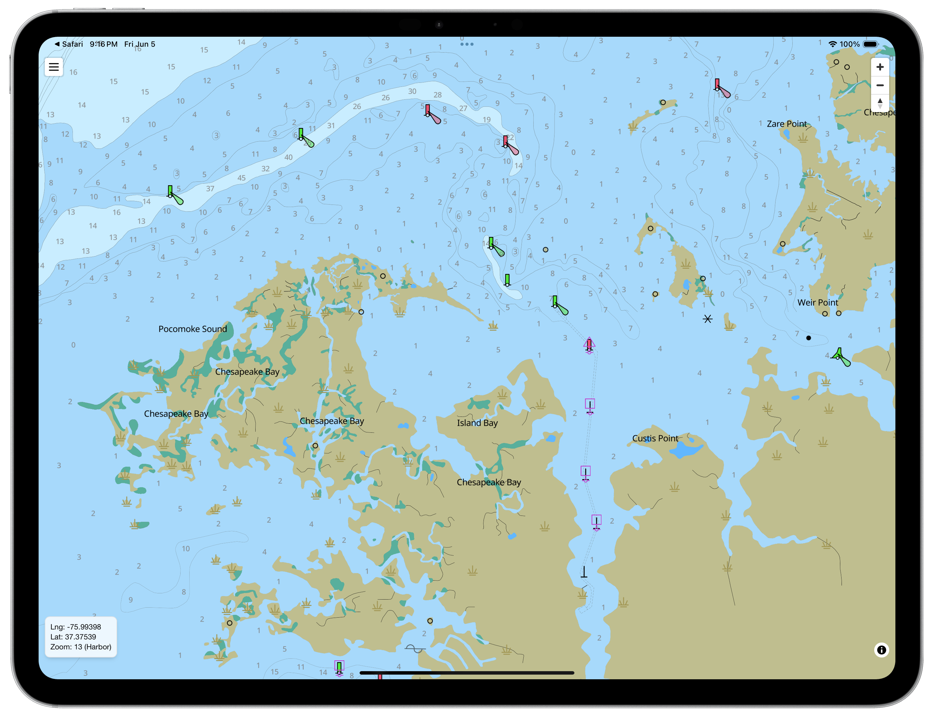
Overview
Keep In Touch
Sign up to receive product updates. No spam, about once a month.
Key Features
Chart Intelligence AI
- Get more from your charts with AI-powered explanations and route analysis.
- Chart area overview: Understand the important features and conditions in the area you're viewing.
- Navigation hazards: Identify hazards and things to watch out for.
- Rules, depths & shoaling: Understand restrictions, charted depths, and shallow-water hazards.
- Traffic & Coast Pilot: Learn about expected vessel traffic and relevant official guidance.
- Route review: Analyze your route for hazards, restrictions, depths, and other potential concerns.
Official Charts & Offline Navigation
- Official NOAA & USACE Charts: Download coastal and inland vector charts for reliable off-the-grid navigation.
- 100% Offline Access: Full access to chart details, tide stations, and current predictions without cellular signal.
- Optimized Display Modes: High-contrast Day, Dusk, and Night modes protect night vision and readability in glare.
- Custom Marine Units: Tailor display settings for depth, distance, and speed in your preferred units.
Fast Route Planning
- Intuitive Waypoint Editing: Tap to place, drag, or insert waypoints anywhere along your track.
- Real-Time Route Data: Instant distance, bearing, and time calculations as you edit.
- Smart Auto-Routing: Built-in pathfinding with Great Circle calculation support.
- GPX Compatibility: Seamlessly import and export routes to sync with onboard electronics.
Integrated Tides & Currents
- Instant Station Forecasts: Tap any tide or current icon directly on the chart for real-time predictions.
- Visual Prediction Graphs: View flow speed, direction, and water levels in clean graph and table layouts.
- Complete Metadata: Access official NOAA station information offline.
Live Instrument Dashboard [PRO]
- Real-Time Vessel Tracking: Turn your device into a live helm display with smooth GPS updates.
- Comprehensive Telemetry: Monitor Speed Over Ground (SOG), Course Over Ground (COG), ETA, and signal quality.
- Active Navigation: Track distance and bearing to your active waypoint at a glance.
Live AIS Traffic & NMEA Integration [PRO]
- NMEA Network Streaming: Connect via Wi-Fi or serial cable to integrate onboard instrument data.
- Collision Awareness: Overlay surrounding AIS targets directly on your vector charts.
- High-Accuracy GPS: Stream external position data directly from your boat’s GPS receiver or USB unit.
GPS Track Recording [PRO]
- Multi-Segment Logging: Record journeys with flexible pause, resume, and segment management.
- GPX Export & Import: Save logs for passage planning, archives, or sharing with crew.
Download & Installation
Mac OS / Phone / iPad

Android