Overview
Video Demo
Note: Overview video does not contain audio.
Key Features
Luna Marine Charts is a fast, intuitive chart viewer and route-planning tool designed for sailors, cruisers, and recreational boaters.
Plan routes quickly, view charts with clarity at any zoom level, and access NOAA data offline whether you’re preparing at home or underway.
CHARTS & OFFLINE ACCESS
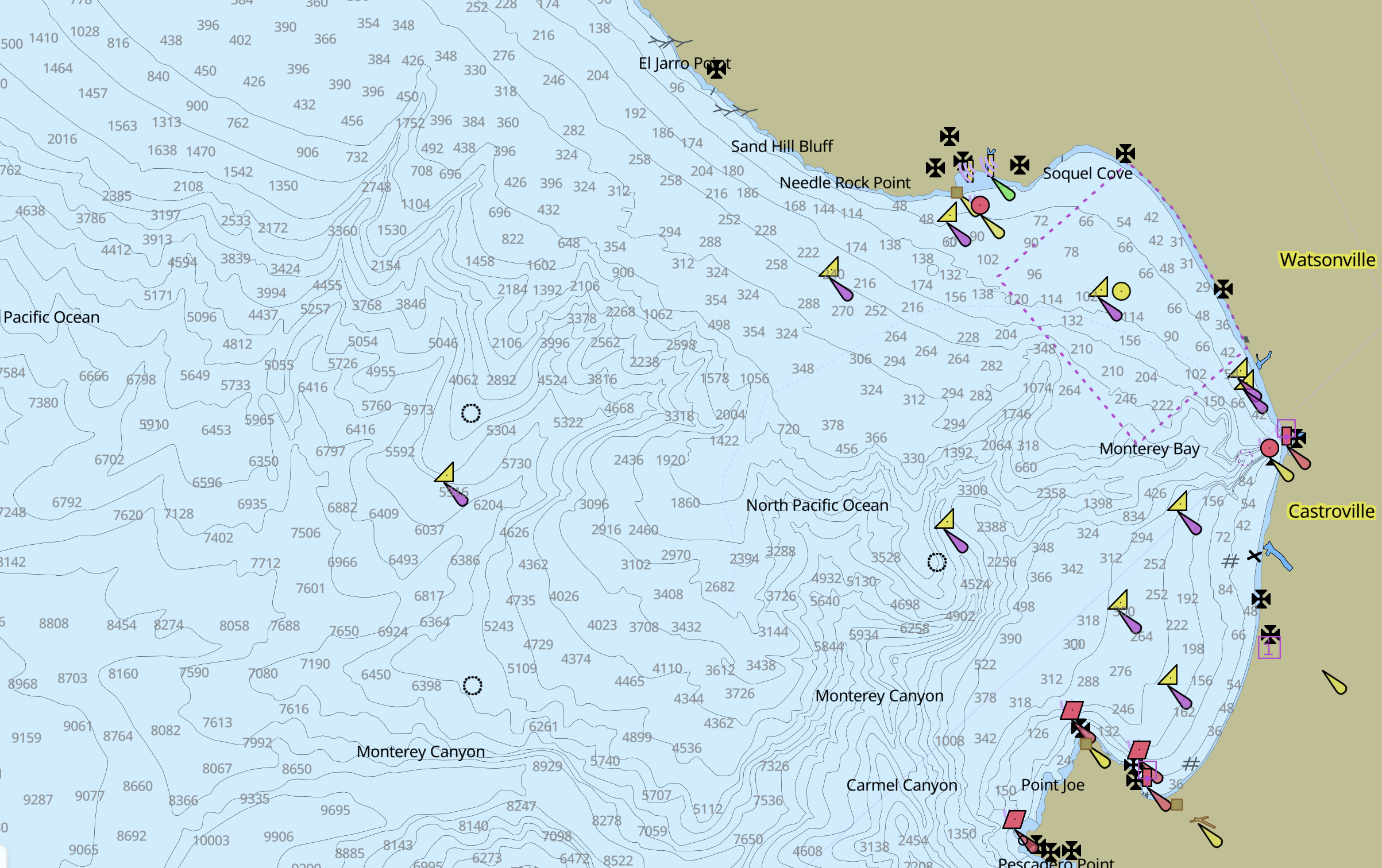
- Download vector-based nautical charts for reliable offline use
- Based on official data from NOAA
- Full U.S. coastal coverage available
- International coverage planned for future releases
ROUTE PLANNING
- Create routes in seconds with simple waypoint placement
- Automatically calculate distance and bearing between waypoints
- Drag to adjust routes or insert new waypoints along the path
- Multiple Auto Route methods:
- Path Finder: Finds the shortest distance between two points taking into account land, water depth, and other factors
- Great Circle: Finds the shortest point between to points on the globe, appears as a curved line on a flat map.
- Export routes to a GPX file
CLEAR, CUSTOMIZABLE DISPLAY
- Switch between day, dusk, and night modes for changing conditions
- Show or hide chart layers (buoys, lights, landmarks) to reduce clutter
- Focus on the information you need for safe navigation
- Choose preferred units for depth, distance, and speed
Download & Installation
Mac OS
DMG (Apple Silicon): Download now
iPhone / iPad
Coming soon...
Windows
Windows Installer (Intel x64): Download Now
Note: Windows build is not currently code signed and will display SmartScreen warnings.
Android
Coming soon...